


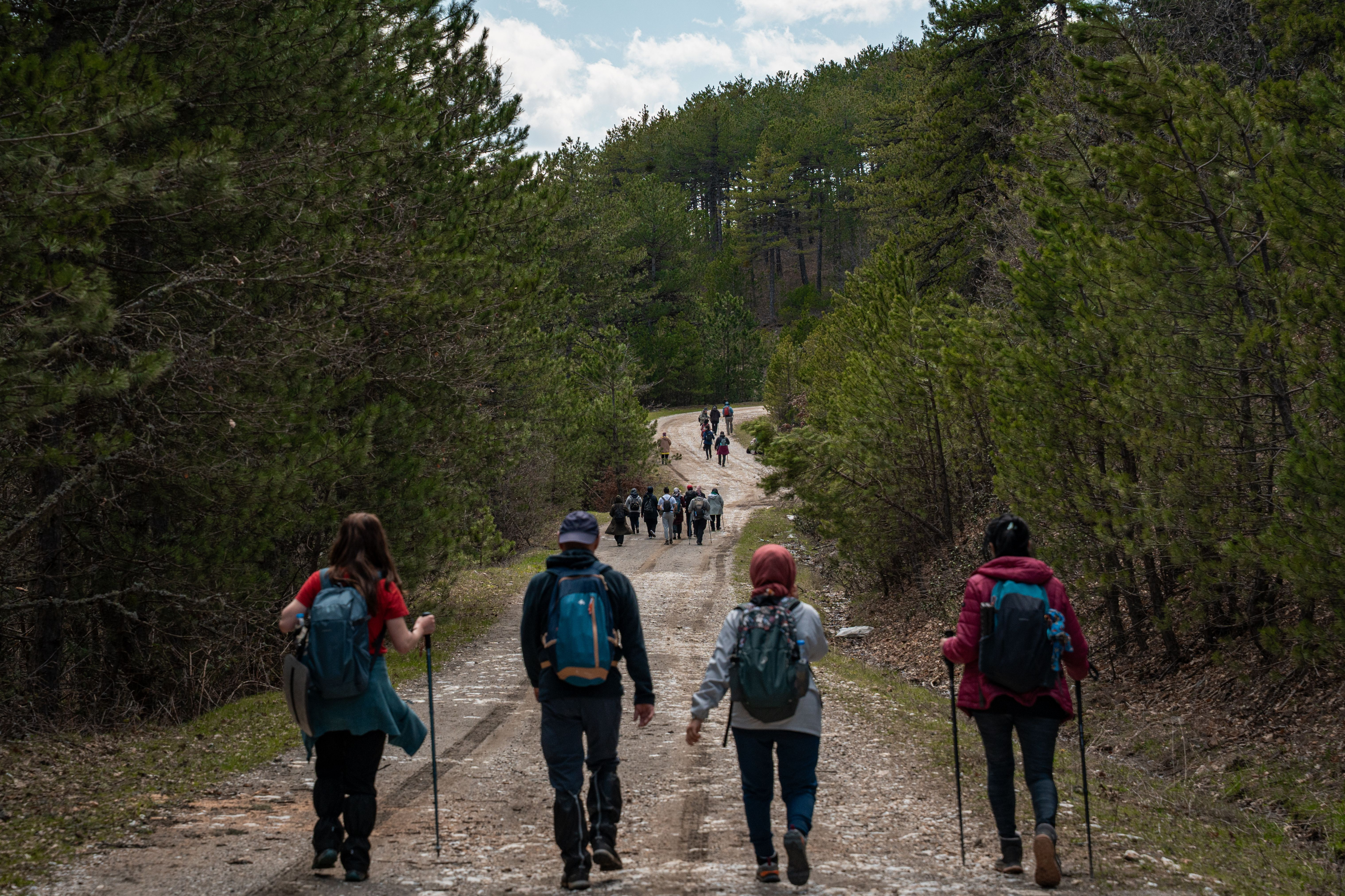
 The best hiking trails near the University of Nevada, Reno range from the flat, 6.6-mile Rancho San Rafael Nature Trail about a mile from campus to the demanding 9-mile climb up Peavine Peak, which gains nearly 2,800 feet before reaching sweeping views of the Truckee Meadows, according to trail data from AllTrails. In between sit a waterfall hike at Hunter Creek, a shaded forest walk along Galena Creek, and an alpine summit near Lake Tahoe at Mount Rose, each within about an hour's drive or less. Students living at Wolf Run, at 1910 Valley Road in Reno's West University neighborhood, are minutes from several trailheads. Outdoor recreation isn't a side activity here, either: it generated $24 billion for Nevada's economy in 2023 and supported more than 75,000 jobs, according to a 2025 report from Nevada's Division of Outdoor Recreation.
Not every trail near Reno fits every schedule or fitness level, and picking the wrong one can turn a two-hour afternoon plan into an all-day slog. Knowing which trails are a short drive from campus, which require real elevation gain, and which need extra water and sun protection makes the difference between a hike you'd repeat and one you wouldn't.
Explore Our Student Floor Plans
Wolf Run's Guide to Hiking Near UNR in Reno, NV
This guide covers the closest trails to campus, a waterfall hike, the higher-elevation trails toward Mt. Rose Highway and Lake Tahoe, how to prepare for hiking at Reno's elevation, and where students can find gear or a hiking group, all paired with what each trail means for someone living at Wolf Run in the West University neighborhood.
How Close Are Reno's Best Trailheads to Campus?
Reno's location at the base of the Sierra Nevada foothills means several legitimate trailheads sit inside a short drive, or even a walk, from UNR.
Rancho San Rafael Park Is the Closest Trail to Wolf Run
Rancho San Rafael Regional Park, about a mile from campus, holds the Rancho San Rafael Nature Trail, a 6.6-mile loop with only 924 feet of elevation gain, rated easy by AllTrails. The park also includes the Wilbur D. May Arboretum and a museum near the trailhead, and the loop stays open to hikers, dogs, and families from March through November most years.
Peavine Peak Delivers Reno's Best Views Without Leaving Town
For a harder option still inside North Reno, the Peavine Peak Trail climbs 2,814 feet over a 9-mile loop, a hike AllTrails users put at around five hours round trip. The trail isn't well marked, so a GPS app is worth downloading before starting, and the exposed summit sees wind and no shade, making it a June-through-November hike for most people rather than a year-round one.
Between an easy loop a mile from campus and a five-hour summit hike, North Reno alone covers most fitness levels without requiring a long drive.
Where Can You Hike to a Waterfall Near Reno?
Southwest Reno holds one of the area's most rewarding payoffs for a moderate amount of effort.
Hunter Creek Trail Ends at a Seasonal Waterfall
Hunter Creek Trail, managed by the Humboldt-Toiyabe National Forest, runs 5.7 miles out and back with about 1,200 feet of elevation gain to a seasonal waterfall at the turnaround point. AllTrails lists it as easy, but many hikers rate the climb closer to moderate because of steep, shadeless stretches, so bringing more water than feels necessary is worth it, especially in summer.
What Hiking Options Are There Toward Lake Tahoe on Mt. Rose Highway?
Heading south from Reno on Mt. Rose Highway (State Route 431) trades valley-floor trails for pine forest and, eventually, alpine terrain near the Tahoe Basin.
Galena Creek Trail Winds Through a Shaded Pine Forest
Galena Creek Trail starts at Phillip & Annie Callahan Park and runs about 2 miles one way along Galena Creek through a riparian pine forest at the base of the Sierra Nevada, with shade that makes it one of the more comfortable summer options on this list. Dogs are allowed on leash, and the trail is popular with mountain bikers and trail runners as well as hikers.
Mount Rose Summit Trail Reaches Nevada's High Country Near Tahoe
Continuing up Mt. Rose Highway to the Tahoe Meadows trailhead leads to the Mount Rose Peak Trail, a 10.6-mile loop that gains 2,362 feet to a summit the U.S. Forest Service lists at 10,709 feet, one of the highest points hikers can reach on a day trip from Reno. It's roughly a 35-to-40-minute drive from Wolf Run, and the trail connects directly to the Tahoe Rim Trail for hikers who want to extend the route.
Between a shaded creekside walk and a 10,000-foot summit, Mt. Rose Highway packs a wider range of terrain into one drive than almost anywhere else near Reno.
How Do You Prepare for Hiking at Reno's Elevation?
Reno's valley floor already sits around 4,400 feet above sea level, and several of the trails above climb well past 7,000 feet, which changes how a hike should be planned.
Weather and Sun Exposure Shift Quickly at Higher Elevation
Thinner air at elevation means less protection from UV exposure and faster dehydration, and mountain weather can shift within an hour even on a clear morning. Trails like Peavine Peak and Mount Rose are best attempted June through November; outside that window, snow and ice are common at the higher trailheads even when Reno's valley floor is clear.
Renting Gear Beats Buying It Before a First Hike
First-time hikers don't need a closet full of gear before trying one of these trails. Local outfitters such as Sierra Adventures and Nevada Adventure Rentals rent hiking packs, poles, and other equipment by the day, which is a lower-commitment way to figure out what's actually worth owning.
How Do Reno's Top Trails Compare?
Here's how the five trails in this guide stack up side by side, from the closest to campus to the highest in elevation.
| Trail | Distance | Elevation Gain | Difficulty | Approx. Drive From Wolf Run |
|---|---|---|---|---|
| Rancho San Rafael Nature Trail | 6.6 mi loop | 924 ft | Easy | ~5 min |
| Peavine Peak Trail | 9.0 mi loop | 2,814 ft | Hard | ~10-15 min |
| Hunter Creek Trail | 5.7 mi out-and-back | 1,200 ft | Moderate | ~15-20 min |
| Galena Creek Trail | ~4 mi round trip | Moderate gain | Moderate | ~20-25 min |
| Mount Rose Peak Trail | 10.6 mi loop | 2,362 ft | Moderate | ~35-40 min |
Are There Clubs or Programs for Student Hikers Near UNR?
Hiking alone is an option, but UNR also gives students structured ways to learn skills or find a group.
UNR's Hiking Club Organizes Group Trips
UNR's student-run Hiking Club connects students who want to hike with a group rather than solo, which is especially useful for the longer trails like Peavine Peak or Mount Rose.
The Outdoor Adventure and Leadership Minor Turns Hiking Into Coursework
For students who want to go further, UNR's Outdoor Adventure and Leadership minor, offered through the School of Public Health, teaches backcountry skills, risk management, and Leave No Trace practices through hands-on hiking and backpacking trips across Nevada and the Sierra Nevada, where 87% of the land is publicly owned.
Reno's Best Trails Are Minutes From Wolf Run
From a mile-long walk around Rancho San Rafael to a 10,000-foot summit near Lake Tahoe, Reno's trail system covers a wider range than most college towns manage, and almost all of it sits within a 40-minute drive of campus. Living at Wolf Run, just a 5-to-15-minute walk from UNR's Joe Crowley Student Union, keeps the closer trailheads walkable or bikeable and puts the rest an easy drive away.
Ready to see the floor plans? Explore our floor plans to compare studio, two-, three-, four-, and six-bedroom layouts, or apply today to lock in a spot for the coming lease term.
Frequently Asked Questions
What is the closest hiking trail to UNR?
The Rancho San Rafael Nature Trail, about a mile from campus, is the closest legitimate hiking trail to UNR. It's a 6.6-mile loop with only 924 feet of elevation gain, rated easy by AllTrails.
How hard is the hike up Peavine Peak?
Peavine Peak is a 9-mile loop with 2,814 feet of elevation gain, rated hard, and typically takes hikers around five hours round trip. The trail isn't well marked, so a GPS app is recommended.
Is there a waterfall hike near Reno?
Yes. Hunter Creek Trail is a 5.7-mile out-and-back hike with about 1,200 feet of elevation gain that ends at a seasonal waterfall, managed by the Humboldt-Toiyabe National Forest.
Can you hike near Lake Tahoe on a day trip from Reno?
Yes. The Mount Rose Peak Trail, off Mt. Rose Highway near the Tahoe Meadows trailhead, is about a 35-to-40-minute drive from Reno and reaches a 10,709-foot summit overlooking the Tahoe Basin.
What is the best time of year to hike near Reno?
Lower-elevation trails like Rancho San Rafael are hikeable most of the year, but higher trails like Peavine Peak and Mount Rose are best attempted June through November, since snow and ice are common at higher elevations outside that window.
Do you need to buy hiking gear to get started?
No. Local outfitters like Sierra Adventures and Nevada Adventure Rentals rent hiking packs, poles, and other equipment by the day, so first-time hikers can try a trail before investing in gear.
Are there clubs for UNR students who want to hike with a group?
Yes. UNR's student-run Hiking Club organizes group trips to trails around Reno, and the university's Outdoor Adventure and Leadership minor teaches hiking and backcountry skills for academic credit.